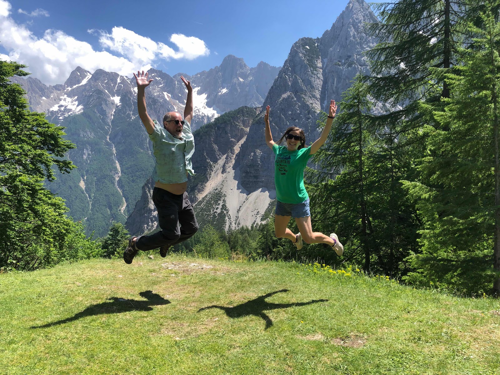
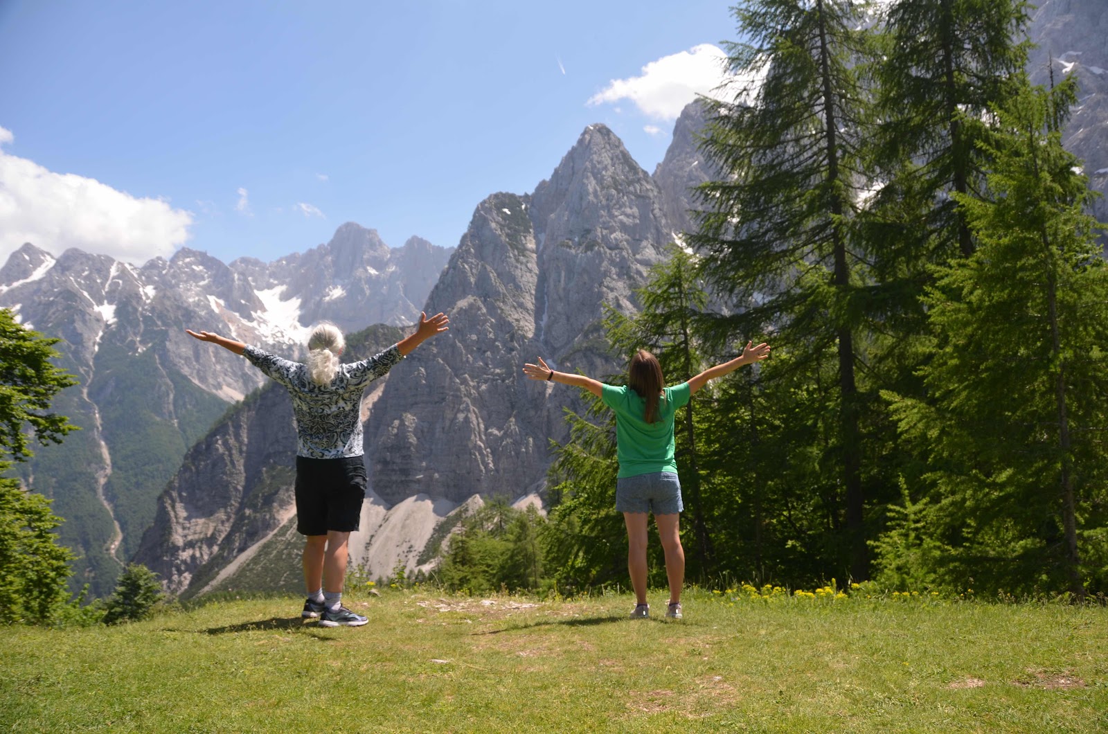
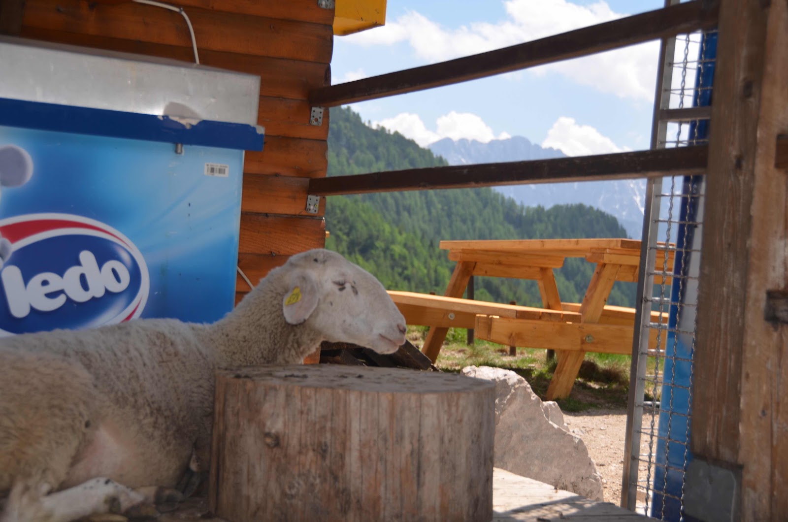
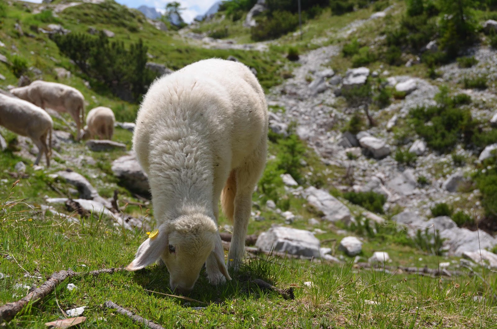
Dad was once again a trooper and drove us on the main road through the park which included fifty, yes fifty, numbered and well marked switchbacks that climbed up the mountain pass and back down into the valley on the other side. Along the way up there were places to pause and photograph the Austrian-like scenery of open fields dotted with wildflowers, snow capped rocky peaks and tall green trees. There was a church built to recognize the hundreds of Russian POWs that died in an avalanche while building the road we were driving on during the First World War. A restaurant at the top of the pass welcomes weary hikers and casual passers-through alike. We sat in the warm sunshine with occasional strong mountain winds while enjoying some schnitzel and watching as seemingly insane climbers practically ran down the mountain side as the steep climb gave no other option. Sheep casually grazed, crossed the street and even meandered into huts and amongst parked cars.

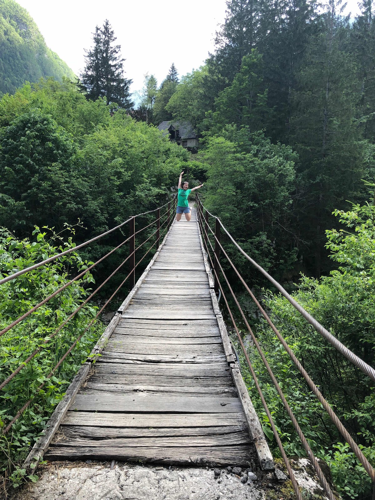
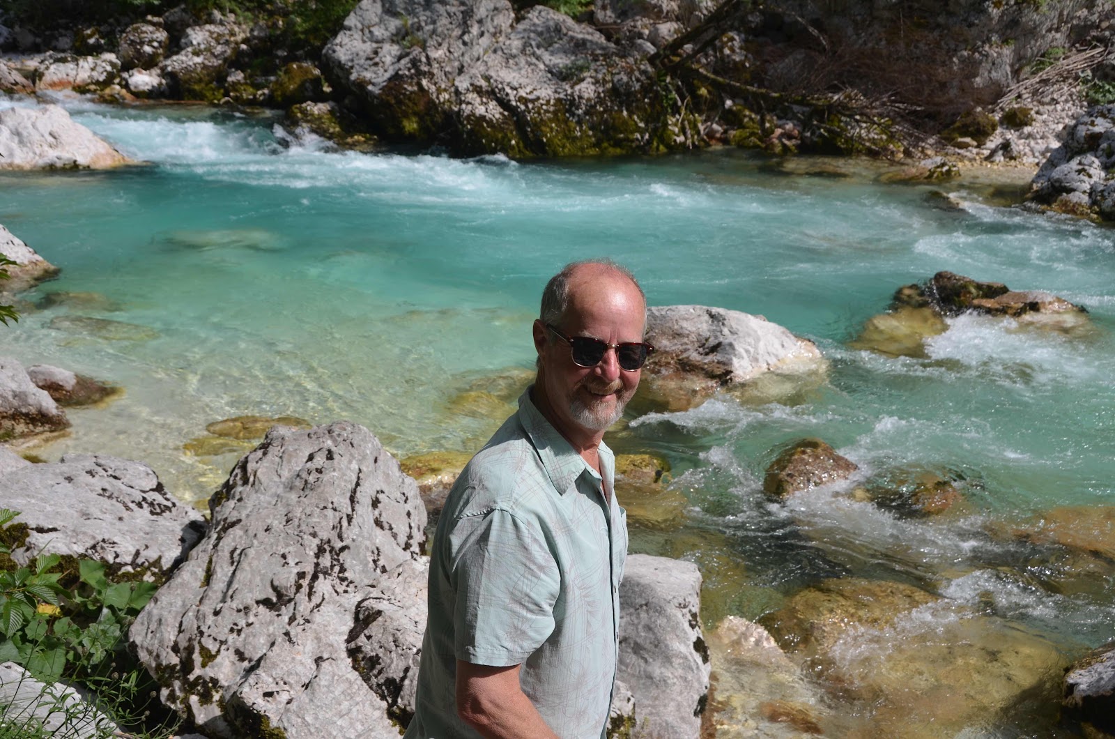
The drive down, and along the Soča River, was also lovely as the turquoise waters accompanied us, and were frequently dotted with suspension bridges. Tiny communities where hearty people chose to make their lives and produce hay often had small churches in them. We noticed that many churches were on top of hills, and it was said that they were sometimes used to communicate, one hilltop church to another, not just to ensure that you were truly committed to the service by walking up as we had assumed. We also encountered graves of thousands of soldiers who were killed during the battles in the area during World War I. A huge cross in the hillside acted as a memorial behind a church and small graveyard in a community the size of speck on the map. Just in front of it were the graves of soldiers in the same families who fought just three decades later in another world war. There was a massive mausoleum, honoring the Italians killed in the area that we reverently walked around, pondering with heavy hearts the countless lives that were lost.


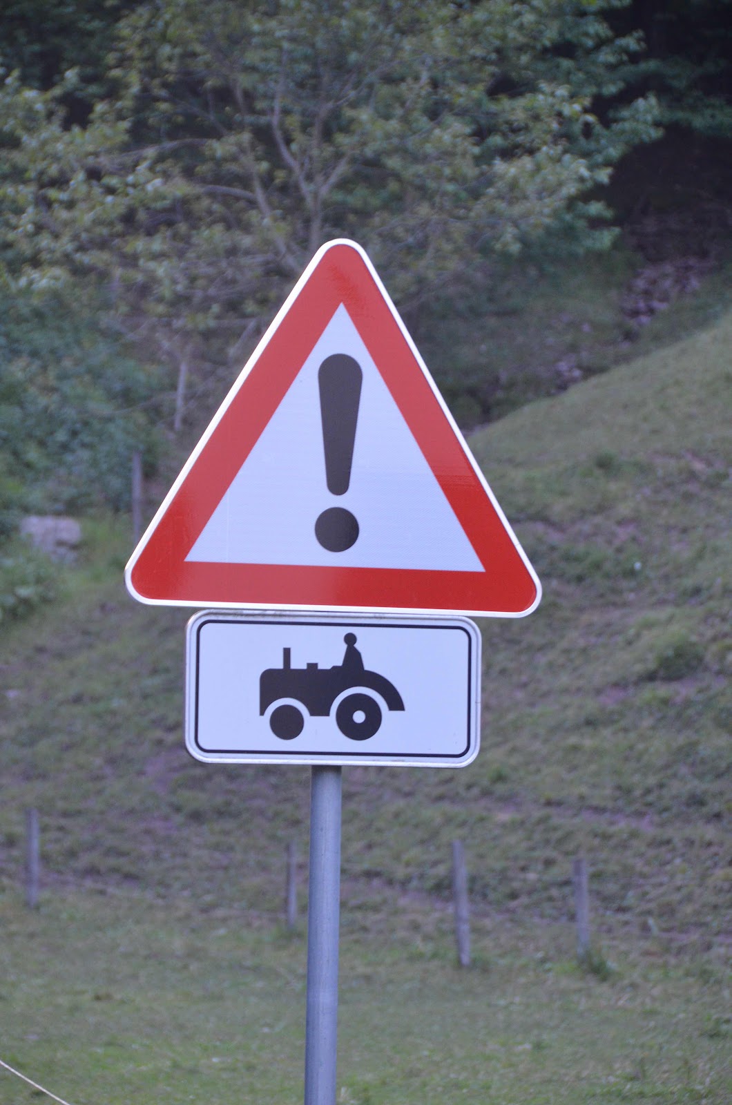
The drive home was found simply through maps that had roads leading in the right direction. I should state that Apple Maps does not show the height of the road, nor how many tractors travel it. We ended up on narrow country roads, that although were two way seemed meant for only one small car. Rural roads meant life moved slowly and tractors were frequent interruptions as we climbed the hillside, enjoying breathtaking views and drops down to the valley that made me a bit queasy. (And we even spotted some Highland Cows!) But, after a long day of driving, we made it back to our home away from home, just as the sun was setting, outlining the mountains, and surrounding them with pink hues all around.
The drive home was found simply through maps that had roads leading in the right direction. I should state that Apple Maps does not show the height of the road, nor how many tractors travel it. We ended up on narrow country roads, that although were two way seemed meant for only one small car. Rural roads meant life moved slowly and tractors were frequent interruptions as we climbed the hillside, enjoying breathtaking views and drops down to the valley that made me a bit queasy. (And we even spotted some Highland Cows!) But, after a long day of driving, we made it back to our home away from home, just as the sun was setting, outlining the mountains, and surrounding them with pink hues all around.


No comments:
Post a Comment